Polarized skylight
Geolocation without GNSS
Navigating in Global Navigation Satellite System-denied or unmapped environments will, over the coming decade, become one of the 10 biggest challenges in robotics. Currently, autonomous robots rely on Global Navigation Satellite System (GNSS), Inertial Navigation Systems (INS) and ground-based antennas to triangulate or correct GNSS signals (5G networks or Real-Time Kinematic (RTK) networks), astronomical navigation, gyrocompass navigation, and vision-based or lidar-based SLAM. However, as summarized in (Serres et al., 2024), many animals are able to navigate or migrate over extremely long distances without using localization techniques developed by humans. For instance, desert ants use a powerful navigational tool termed optical path integration to locate their nest. When returning, desert ants follow the shortest possible route, a straight line, even in featureless or unfamiliar terrains. By integrating a directional compass and distance information from their vision, desert ants calculate a vector from their visual inputs, and this leads them home (see R. Wehner’s book ).
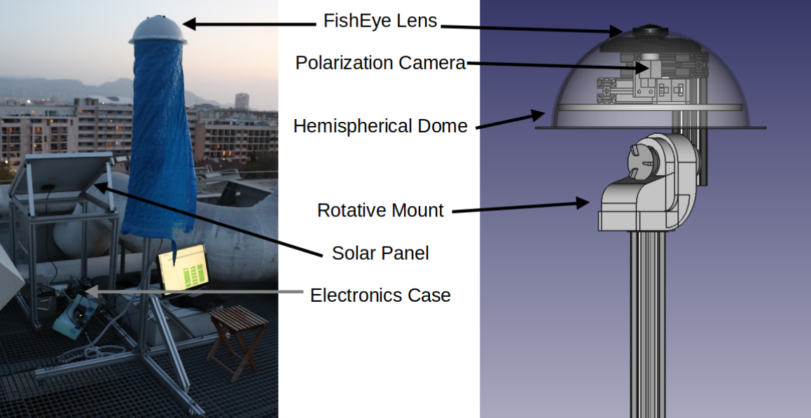
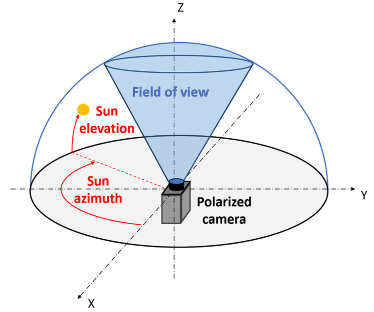
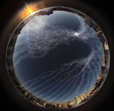
The aim of this project is precisely to study new methods based on the processing of the polarized skylight to determine in real time the heading to the true North but also the location on earth (latitude and longitude) by means of only polarimetric information. We developped a fully open access and open source simulator, named OpenSky (Moutenet et al., 2024) providing realistic images from a simulated polarimetric camera oriented toward the sky. We recently developed a method named SkyPole (Kronland-Martinet et al., 2023) able to locate the celestial pole (pole point) from the pattern of degree of polarization of the sky measured by a polarimetric camera.


References
2024
-
Passive Polarized Vision for Autonomous Vehicles: A ReviewSensors (Basel, Switzerland), 2024
-
OpenSky: a modular and open-source simulator of sky polarization measurementsIEEE Transactions on Instrumentation and Measurement, 2024
2023
-
SkyPole—A method for locating the north celestial pole from skylight polarization patternsProceedings of the National Academy of Sciences, 2023
-
A stand-alone polarimetric acquisition system for producing a long-term skylight datasetIn 2023 IEEE SENSORS, 2023